

Makaleler
20
Tümü (20)
SCI-E, SSCI, AHCI (8)
SCI-E, SSCI, AHCI, ESCI (9)
ESCI (1)
Scopus (9)
TRDizin (7)
Diğer Yayınlar (6)

13. New trend in object oriented image analysis - ontology
JOURNAL OF THE FACULTY OF ENGINEERING AND ARCHITECTURE OF GAZI UNIVERSITY
, cilt.35, ss.479-493, 2020 (SCI-Expanded, Scopus, TRDizin)


Hakemli Bilimsel Toplantılarda Yayımlanmış Bildiriler
43


14. SAR UYDU GÖRÜNTÜLERİNDE YAPAY SİNİR AĞLARI İLE DENİZ PETROL KİRLİLİĞİNİN TESPİTİ
3rd INTERNATIONAL ZEUGMA CONFERENCE ON SCIENTIFIC RESEARCHES, Gaziantep, Türkiye, 22 - 24 Kasım 2019, ss.1-5, (Özet Bildiri)
41. Sayısal Görüntü İşleme Dersi Örneğinde Macromedia Breeze MSN Mail Grupları ve web Tabanlı Uzaktan Eğitim Uygulaması
UZALCBS 2006, İstanbul, Türkiye, 27 - 29 Kasım 2006, (Tam Metin Bildiri)
Metrikler
Yayın
63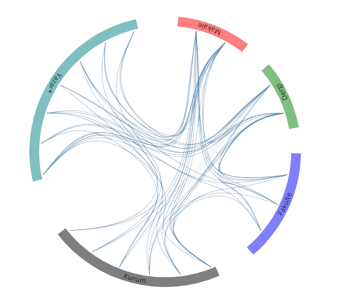
Açık Erişim
8
BM Sürdürülebilir Kalkınma Amaçları