

Makaleler
54
Tümü (54)
SCI-E, SSCI, AHCI (35)
SCI-E, SSCI, AHCI, ESCI (43)
ESCI (7)
Scopus (36)
TRDizin (6)
Diğer Yayınlar (5)


12. Design and implementation of a 4D cadastral legal model for Turkish land administration infrastructure based on LADM
GEOCARTO INTERNATIONAL MULTI-DISCIPLINARY JOURNAL OF REMOTE SENSING AND GIS
, cilt.1, sa.1, ss.1-24, 2022 (SCI-Expanded, Scopus)

43. Monitoring Spatial and Temporal Land Use/Cover Changes; a Case Study in Western Black Sea Region of Turkey
JOURNAL OF THE INDIAN SOCIETY OF REMOTE SENSING
, cilt.41, sa.3, ss.587-596, 2013 (SCI-Expanded, Scopus)

51. Advanced Analysis of Differences between C and X Bands using SRTM Data for Mountainous Topography
JOURNAL OF THE INDIAN SOCIETY OF REMOTE SENSING
, cilt.37, sa.3, ss.335-349, 2009 (SCI-Expanded, Scopus)
Hakemli Bilimsel Toplantılarda Yayımlanmış Bildiriler
75
Bilirkişi Raporları
2
Metrikler
Yayın
141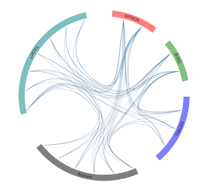
Açık Erişim
59
BM Sürdürülebilir Kalkınma Amaçları